

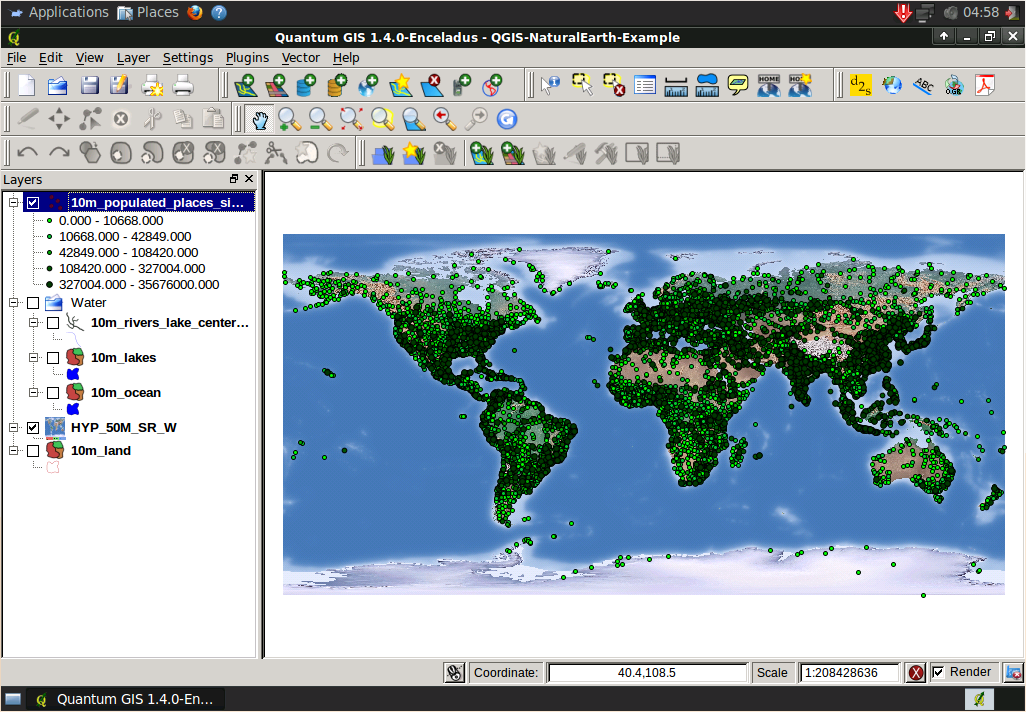
Quantum GIS (QGIS) is a user friendly, Open Source, GIS client where you can visualize, manage, edit, analyse data, and compose printable maps. It includes powerful analytical functionality through integration with GRASS. It runs on Linux, Unix, Mac OSX, and Windows and supports numerous vector, raster and database formats and functionality.
Friendly graphical user interface.
- identify/select features,
- edit/view/search attributes,
- on the fly projection,
- print composer,
- feature labeling,
- change vector and raster symbology,
- add a graticule layer,
- and more ...
Easy Viewing of many Vector and Raster Formats
- PostgreSQL Database tables
- most vector formats: including ESRI shapefiles, MapInfo, SDTS and GML.
- raster formats such as digital elevation models, aerial photography or landsat imagery,
- GRASS locations and mapsets,
- online spatial data served as OGC-compliant WMS or WFS;
Create, edit and export spatial data using:
- digitizing tools for GRASS and shapefile formats,
- the georeferencer plugin,
- GPS tools to import and export GPX format, convert other GPS formats to GPX, or down/upload directly to a GPS unit
Perform spatial analysis using fTools or GRASS plugins
- map algebra,
- terrain analysis,
- hydrologic modeling,
- network analysis,
- and many others
Publish to the internet
Extensible plugin architecture.
Website: http://www.qgis.org
Licence: GPL
Software Version: 1.5.0
Supported Platforms: Windows, Linux, Mac, Unix
Community Support: http://qgis.org/en/community.html
Commercial Support: http://qgis.org/en/commercial-support.html